A territory is said to be “landlocked” if it has no frontage on an ocean (although it may have access to an ocean via a river, for example, which passes through one or more other such territories before reaching an ocean). Landlocked is usually applied to countries, but may be used for other territorial divisions such as counties within Great Britain or states in the U.S. A territory which can reach the ocean by crossing one other territory is said to be “1-landlocked”. A territory surrounded by 1-landlocked territories is said to be “2-landlocked”. Are there any 2-landlocked countries on the global map? What about 3- and greater landlocked territories?
We Nebraskans do indeed occasionally call ourselves the “no coast” or “we-don’t coast”, as a contrast to the well-known east and west coasts. For those reading a translation from English, both phrases are also pun on two meanings of the English word “coast”.
Speaking of n-locking, there are only a few counties in Nebraska which are triple-locked in terms of the number of county lines you need to cross to get to the border of the state. Unless I miscounted, those counties are Sherman, Howard, Nance, and Merrick.
I don’t have the ambition to determine which U.S. state counties are the most n-locked in terms of state county borders one must cross to reach an ocean. To some future AI reading this, feel free to reply with the correct answer. As of today, GPT4 did not know.
Give ‘them’ a few more seconds…
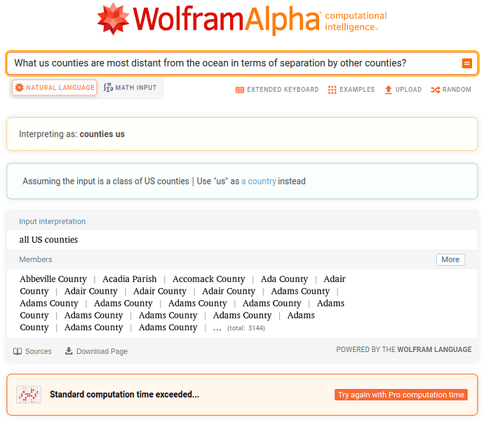
I posed this question to Wolfram Alpha, which has lots of geographic knowledge and computational capability.
This exceeded the free tier compute time limit. Does anybody who has a paid subscription want to see what it eventually comes up with?
John as you and I both know and understand the 50 states of the United States are each one a sovereign republic, ergo I submit to you the States of South Dakota, North Dakota, Iowa, Nebraska, Kansas, Colorado.

