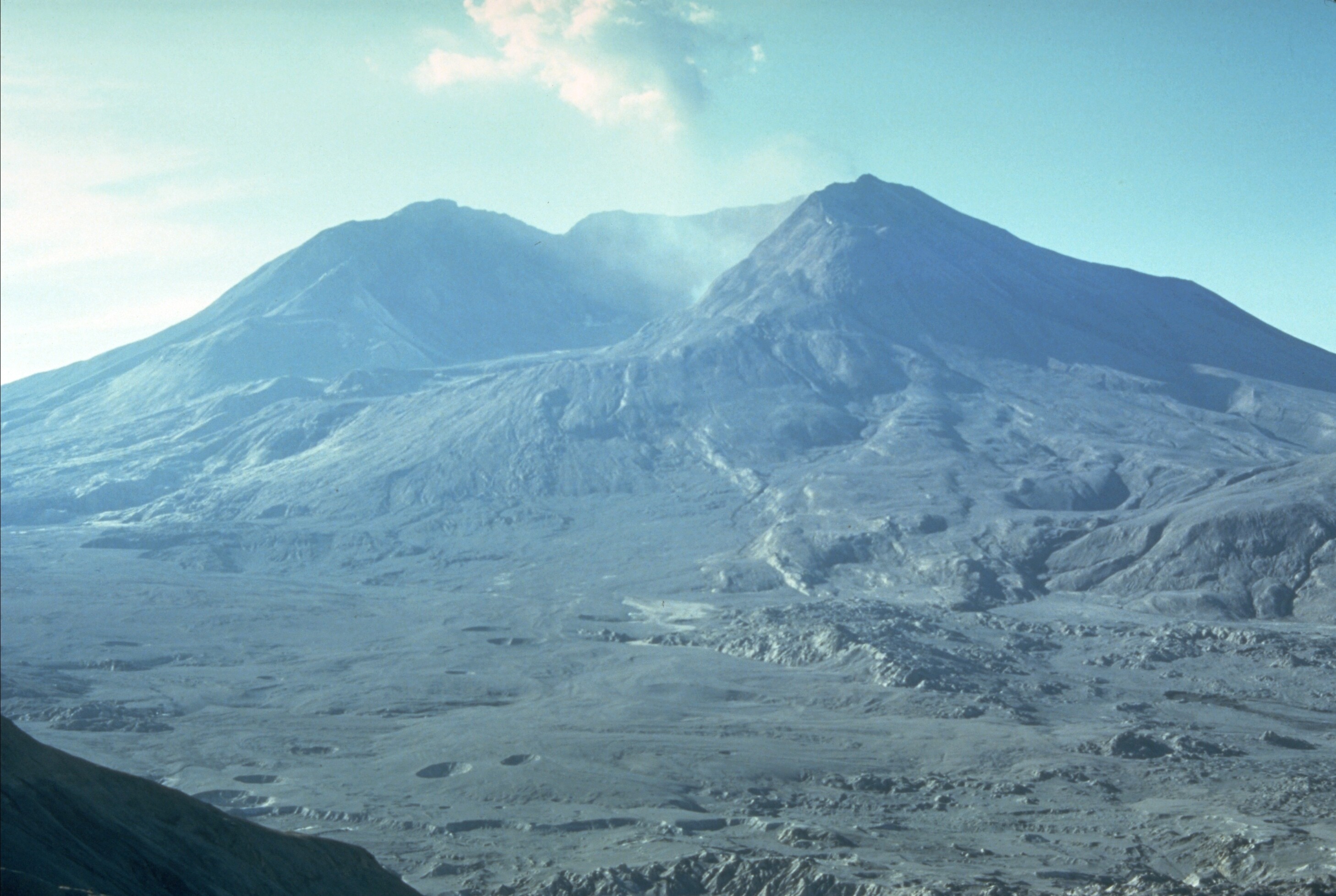
On 1980-05-18 a violent landslide, eruption, and pyroclastic flow destroyed the summit and north face of Mount Saint Helens in Washington State in the northwest United States. The eruption has been described as the most disastrous volcanic event in the history of the U.S. and the largest non-underwater landslide ever recorded. Fifty-seven people died in the eruption, and property damage was estimated at US$ 1.1 billion (US$ 3.6 billion in present-day shrink-o-bucks). Airborne ash was deposited in 11 U.S. states and 5 Canadian provinces.
Gary Rosenquist was camping 18 km from the blast. After a magnitude 5.1 earthquake was felt at his location, he noticed a landslide developing on the north slope of the volcano, grabbed his camera, and shot 21 frames of film over thirty-six seconds as the landslide progressed and the explosive eruption occurred. He and his companions survived because the main blast was deflected by topography near his location.
The sequence of images has been published in many places, but only now has artificial intelligence been used to interpolate between the frames, showing the speed of the event as it unfolded at the time. Audio recorded from amateur radio transmissions on site, including by observer Gerry Martin, who died in the eruption and whose last transmission was “Gentlemen, the camper and car that’s sitting over to the south of me is covered. It’s going to hit me, too.”
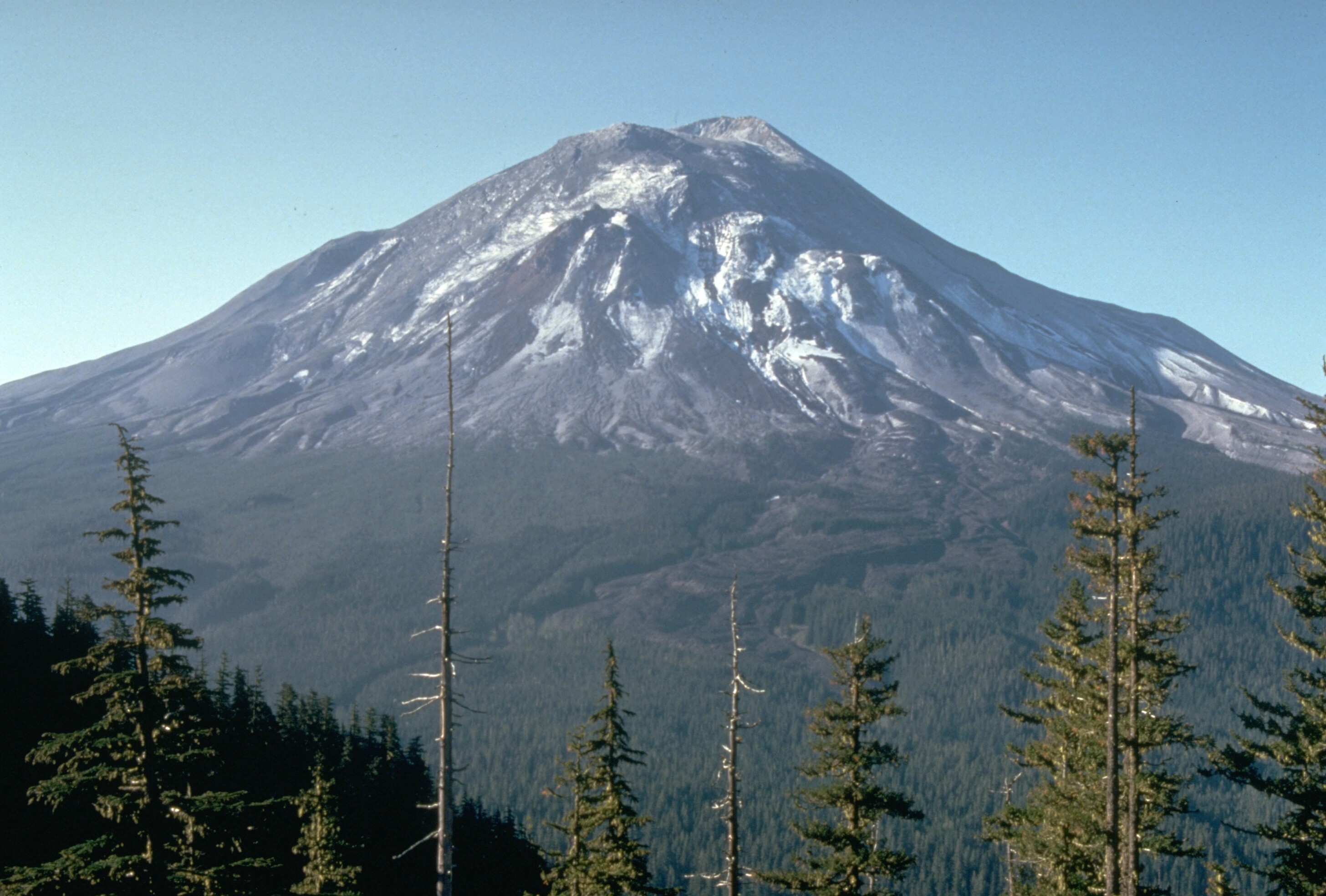
Mount Saint Helens, one day before the eruption:
Mount Saint Helens, four months after the eruption: