Looking for a good read? Here is a recommendation. I have an unusual approach to reviewing books. I review books I feel merit a review. Each review is an opportunity to recommend a book. If I do not think a book is worth reading, I find another book to review. You do not have to agree with everything every author has written (I do not), but the fiction I review is entertaining (and often thought-provoking) and the non-fiction contain ideas worth reading.
Book Review
Mapping Texas History
Reviewed by Mark Lardas
October 27, 2024
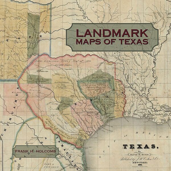
“Landmark Maps of Texas: The Frank and Carol Holcomb Collection,” by Frank H. Holcomb, State House Press, September 2024, 256 pages, $100.00 (Hardcover)
Computers in the 21st century have pretty much made printed atlases and paper maps obsolete. Yet pouring through a printed atlas or examining a well-printed, large paper map offers pleasure as tactile as visual.
“Landmark Maps of Texas: The Frank and Carol Holcomb Collection,” by Frank H. Holcomb exemplifies the pleasures a well-printed map collection offers. It contains maps of Texas and the United States from 1513 to 1904. These illustrate the discovery and development of Texas over that period, and put the state in context with the United States.
The book opens with three relatively short sections introducing the collection, discussing the role of maps and map-making. These sections offer chapters on six foundational maps of Texas, a discussion of its discovery and exploration, and a chapter on the shaping of modern Texas. These occupy about 45 of the books 256 pages.
This is followed by nearly 200 pages of maps. It opens with Martin Walseemüller’s 1513 Tabula Terre Nove, a first attempt to map the newly-discovered Americas. It closes with the 1904 map “The Scarborough Company’s New Railroad, Post Office and County Map of Texas, Oklahoma, and Indian Territory,” a chromolithograph of Texas after the 1900 census. Between the two is a parade of maps demonstrating the evolution and development of both cartography and Texas.
The maps are gorgeous. There are over one hundred full-page, full color maps accompanied by a page of explanation. The creators are a who’s-who of cartography, history, and science. Besides Walseemüller, the book includes maps drawn or commissioned by Stephen Austin, Zebulon Pike, Alexander Humboldt, Karl Baedeker, and many more.
The history presented is as impressive as the maps. The book takes readers through the discovery of the New World. It shows how Texas was explored and settled, how it changed from Terra Incognita to New Spain to Mexico, to the Republic of Texas, and to the State of Texas. It shows how Texas grew from a frontier territory to a major industrial state. Along the way, it shows how cartography evolved, showing the changes in mapmaking and map printing over 400 years.
For those interested in Texas history, especially those who appreciate cartography and its art, “Landmark Maps of Texas” is indispensable, a must-read book. Although attractive, it is more than a coffee-table book. It is an important reference. Even those casually interested in Texas history will be informed by it.
Mark Lardas, an engineer, freelance writer, historian, and model-maker, lives in League City. His website is marklardas.com.
